Agricultural land use impacts aquatic greenhouse gas emissions from wetlands in the Canadian Prairie Pothole Region
Logozzo, L., C. Soued, L.E. Bortolotti, P. Badiou, P. Kowal, B. Page, M.J. Bogard
Mar 2025 · Global Biogeochemical Cycles

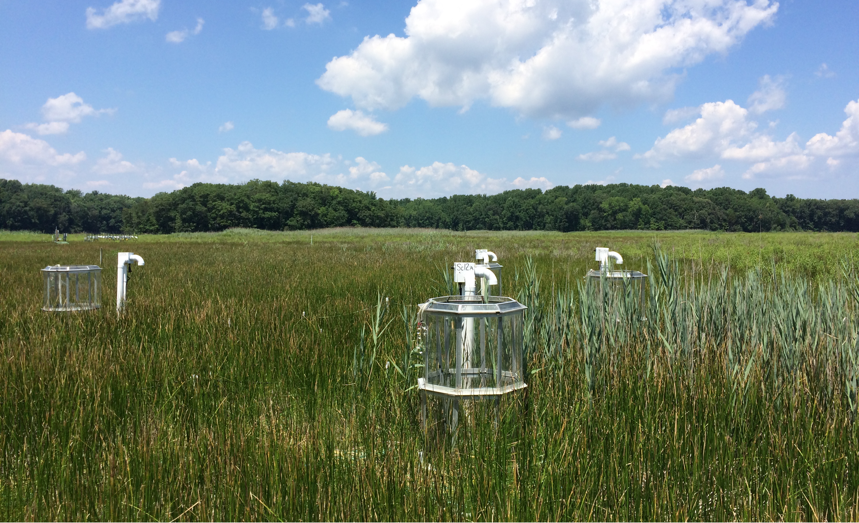
The Prairie Pothole Region (PPR) is the largest wetland complex in North America, with millions of wetlands punctuating the landscapes of Canada and the United States. Here, wetlands have been dramatically impacted by agricultural land use, with unclear implications for regional to global greenhouse gas (GHG) emissions budgets. By surveying wetlands across all three Canadian prairie provinces in the PPR, we show that emissions patterns of carbon dioxide (CO2), methane (CH4), and nitrous oxide (N2O) from aquatic habitats differ among wetlands embedded in cropland versus perennial landcover. Wetlands in cropped landscapes had double the aquatic diffusive emissions (20.6 ± 31.5 vs. 9.4 ± 17.3 g CO2-eq m−2 d−1) largely driven by CH4. Structural equation modeling showed that all three GHGs responded differently to the surrounding landscape properties. Emissions of CH4 were the most sensitive to land use, responding positively to the elevated phosphorus content and lower sulfate content in cropped settings, despite higher organic matter content in wetlands in perennial landscapes. Aquatic N2O emissions were negligible, while CO2 emissions were high, but not strongly related to agricultural land use. While our estimates of aquatic CH4 emissions from PPR wetlands were high (18.2 ± 41.4 mmol CH4 m−2 d−1), accounting for fluxes from vegetated and soil habitats would lead to whole-wetland emissions rates that are lower and comparable to wetlands in other biomes. Our study represents an important step toward understanding wetland emission responses to land use in the PPR and other wetland-rich agricultural landscapes.


